


California Trail Map
Advertisement
Photos
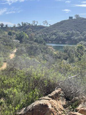
California Trail Map offers a comprehensive GPS mapping solution for trails and dirt roads across public lands in Southern Central California and Southern Nevada. With over 48,950 miles of non-motorized trails and 88,005 miles of motorized dirt roads and OHV trails, it features meticulously curated data that can't be found on other digital maps.
The trails are color-coded to indicate access for hiking, biking, horseback riding, and off-roading, making it a valuable resource for outdoor enthusiasts. Utilizing advanced mapping technologies, California Trail Map provides highly accurate and user-friendly navigation tools for adventurers exploring the rich landscapes of California and Nevada.
Generated from the website
You might also like


Partial Data by Foursquare.
Advertisement