


Pocola, OK
Advertisement
Pocola, OK 74902
Pocola Map
Pocola is a town in Le Flore County, Oklahoma, United States. It is part of the Fort Smith, Arkansas-Oklahoma Metropolitan Statistical Area. The population was 3,994 at the 2000 census.
Pocola is located at 35°15?29?N 94°28?26?W / 35.25806°N 94.47389°W / 35.25806; -94.47389 (35.257983, -94.473959).
According to the United States Census Bureau, the town has a total area of 30.5 square miles (79.0 km²), of which, 30.3 square miles (78.5 km²) of it is land and 0.2 square miles (0.5 km²) of it (0.69%) is water.
Nearby cities include Van Buren, Spiro, Muldrow, Greenwood, Lavaca.
Places in Pocola
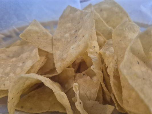
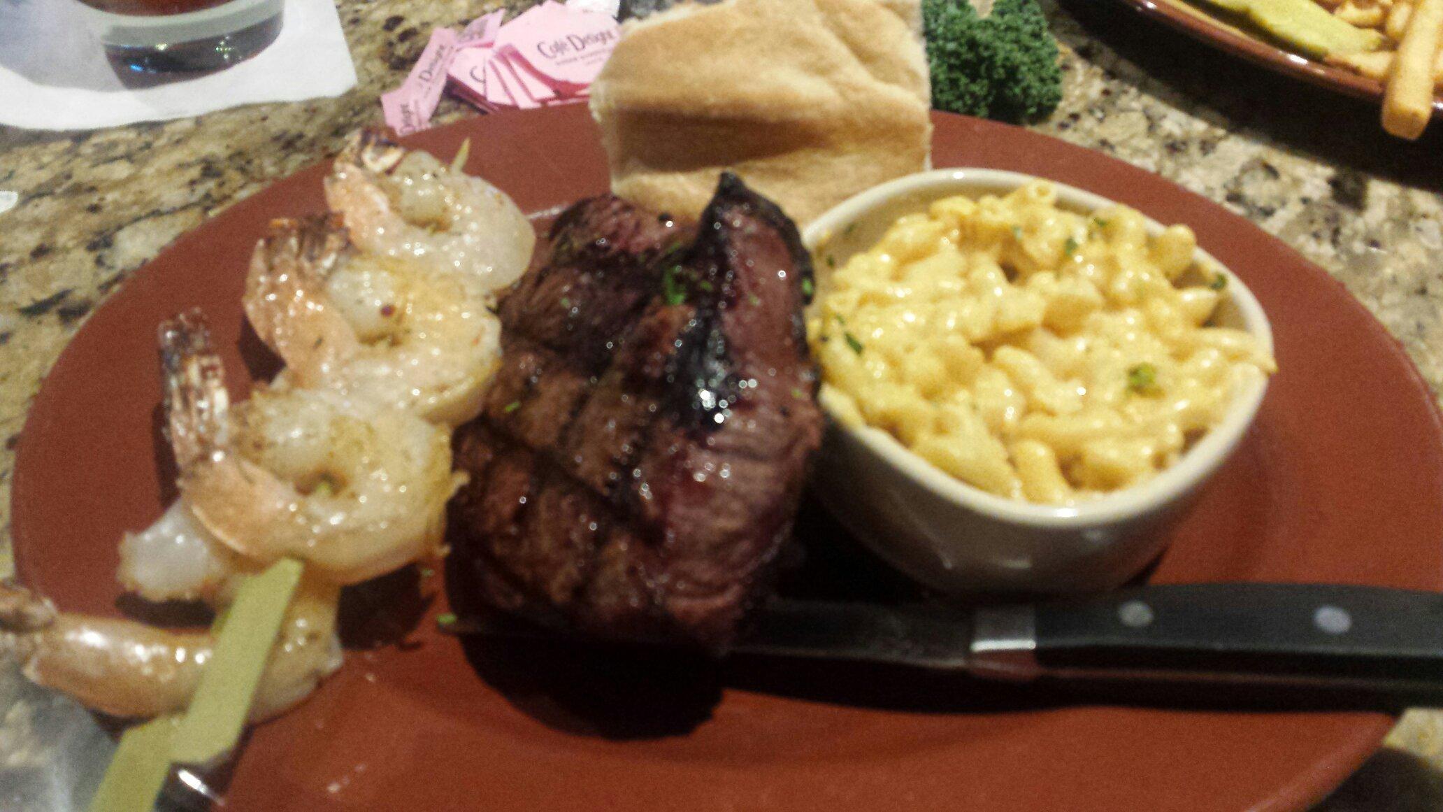
Dine and drink
Eat and drink your way through town.


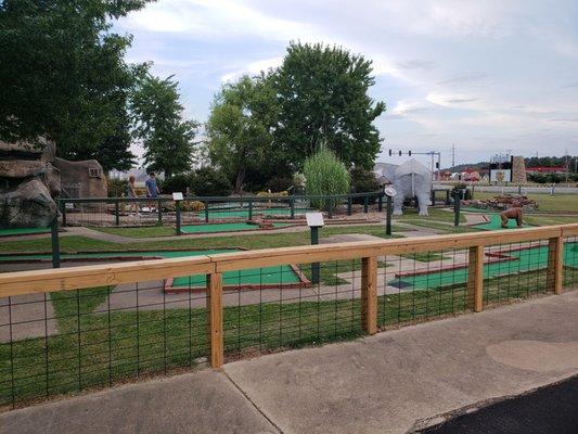
Can't-miss activities
Culture, natural beauty, and plain old fun.


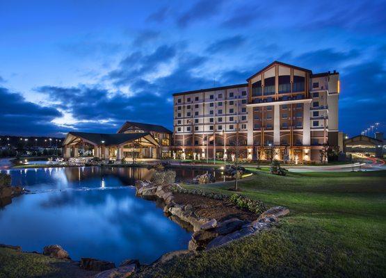
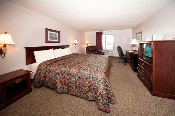
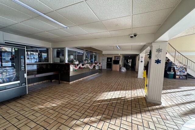
Places to stay
Hang your (vacation) hat in a place that’s just your style.

See a problem?
Advertisement