


Thackerville, OK
Advertisement
Thackerville Map
Thackerville is a town in Love County, Oklahoma, United States. The population was 404 at the 2000 census. It is part of the Ardmore, Oklahoma Micropolitan Statistical Area.
Thackerville is located at 33°47?45?N 97°8?37?W / 33.79583°N 97.14361°W / 33.79583; -97.14361 (33.795874, -97.143677). It is situated near the intersection of U.S. Highway 77 and State Highway 153, five miles north of the Texas state line and ten miles south of Marietta in south central Love County.
According to the United States Census Bureau, the town has a total area of 2.1 square miles (5.5 km²), all of it land.
Nearby cities include Marietta, Lindsay, Gainesville, Whitesboro, Muenster.
Places in Thackerville
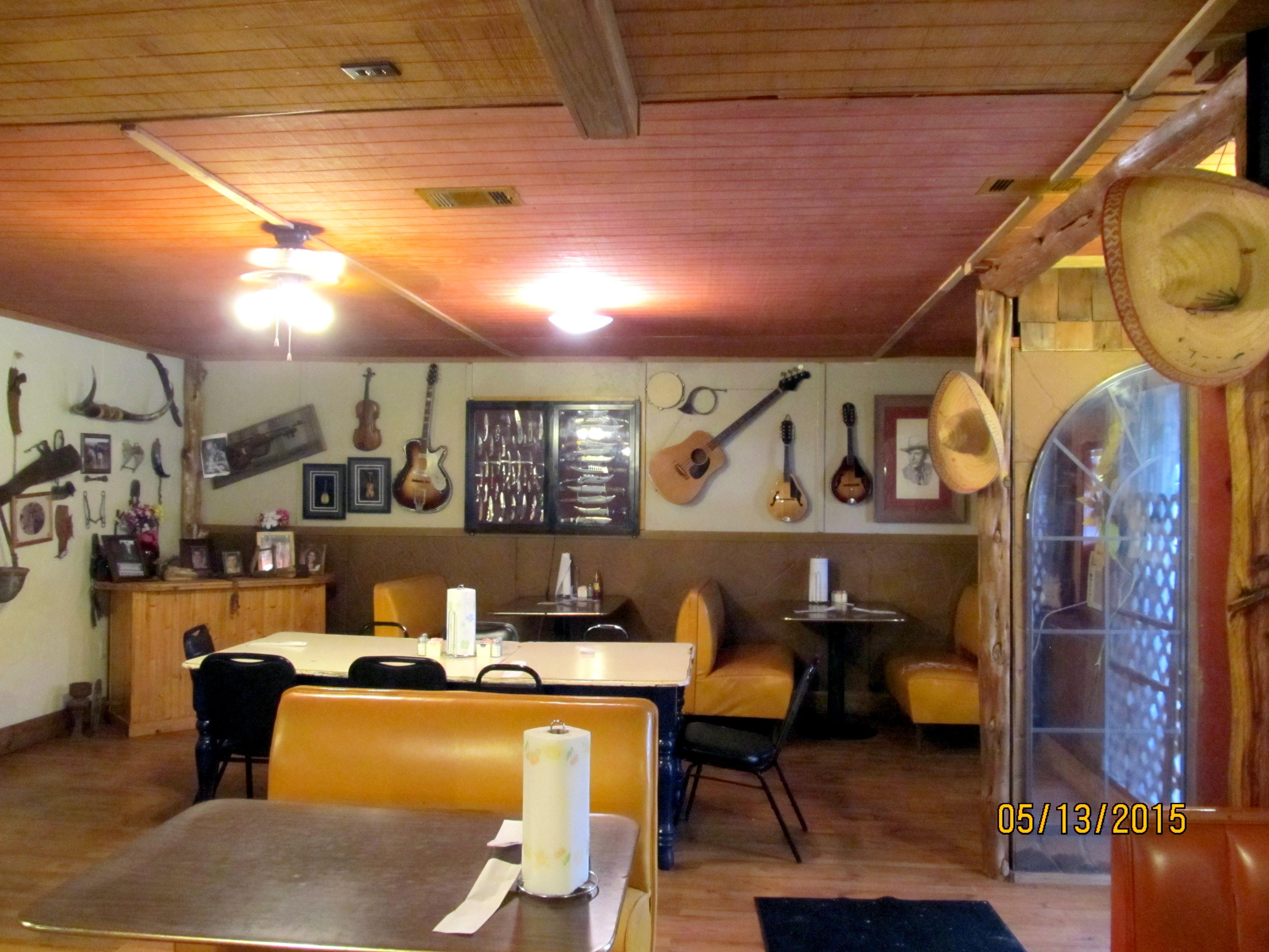
Dine and drink
Eat and drink your way through town.


Can't-miss activities
Culture, natural beauty, and plain old fun.


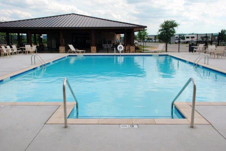
Places to stay
Hang your (vacation) hat in a place that’s just your style.


Advertisement